The Drum · Weekly AI news, freeSubscribe →

Share
This innovative architecture leverages satellite data to detect environmental changes with unprecedented precision, empowering better disaster response and climate change mitigation strategies.
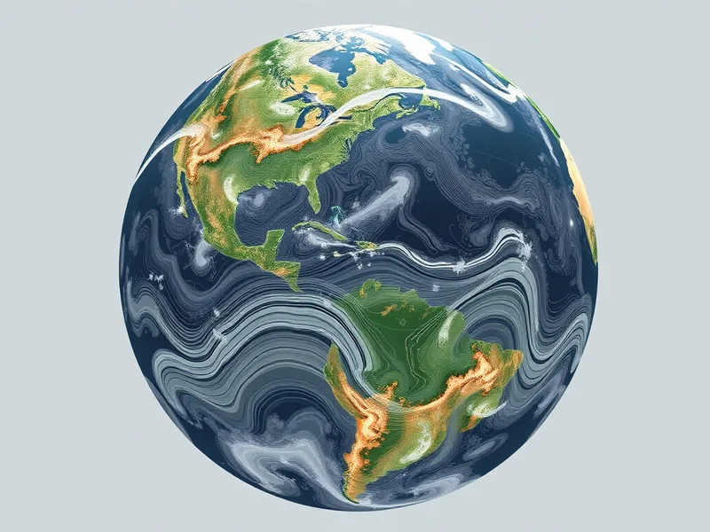
Satellite imagery has become a critical tool for monitoring changes on Earth's surface, from tracking the impacts of climate change to assessing ecosystem health and responding to natural disasters. A recent study by researchers at LIGM, Ecole des Ponts, and Inria Paris introduces a groundbreaking new architecture that enhances the accuracy and efficiency of semantic change detection using satellite image time series (SITS-SCD).
Imagine a world where we can predict and prepare for natural disasters more effectively, monitor deforestation in real-time, and track the melting of polar ice caps with unprecedented precision. This is the promise of advanced satellite imagery analysis. For communities at risk from climate-related events, this technology could mean the difference between life and death. For policymakers, it offers a powerful tool to make informed decisions about environmental conservation and disaster mitigation.
To grasp the significance of this new architecture, let's break down what it does in simpler terms. Satellite image time series (SITS) involves capturing multiple images of the same area over time. The goal is to detect changes and understand their nature-whether it’s a forest turning into farmland or a coastal area being eroded by rising sea levels.
The researchers have developed a method called multiUTAE, which stands for multi-temporal Unet with Temporal Attention Encoder. This architecture is designed to handle large amounts of data more efficiently than previous models and can capture long-term changes over time. Think of it as a sophisticated way to analyze a series of snapshots of the Earth's surface, identifying patterns and shifts that might not be visible to the naked eye.
Temporal Attention Mechanism: This feature allows the model to focus on important time points in the sequence of images. It’s like having a highlighter that can emphasize significant changes over time, making it easier to spot trends and anomalies.
Parallel Processing: The architecture processes all time stamps simultaneously, which speeds up the analysis and makes it more scalable. Imagine analyzing a series of photos of a forest over several years; this method would allow you to see how the forest has changed at each point in time, all at once.
Feature Maps at Various Scales: By creating detailed maps of features at different levels of detail, the model can capture both broad and fine-grained changes. This is akin to using a zoom lens that can switch between wide-angle views and close-ups, ensuring no detail is missed.
While the new architecture shows significant improvements in accuracy and efficiency, it still faces challenges when dealing with spatial and temporal shifts. Spatial domain shift refers to differences in how the model performs across different locations, while temporal domain shift involves changes over time.
The researchers used two datasets-DynamicEarthNet and MUDS-to analyze these shifts. They found that:
Spatial Domain Shift: This is the most complex challenge. The performance of the model varies significantly when applied to different regions, highlighting the need for more localized training data.
Temporal Domain Shift: Changes over time have a more pronounced impact on change detection than on semantic segmentation. In simpler terms, it’s harder for the model to identify new changes as time progresses, even though it can still accurately label existing features.
The findings of this study are crucial for improving satellite imagery analysis in real-world applications. For disaster response teams, better change detection could mean faster identification of affected areas, leading to quicker aid delivery. For environmental scientists, the ability to track long-term changes with high accuracy can provide valuable insights into climate trends and ecosystem health.
However, addressing the challenges of domain shift will be essential for widespread adoption. The researchers suggest that future work should focus on developing methods to adapt models to different spatial and temporal contexts, ensuring they remain effective across a variety of scenarios.
The advancements in satellite image time series semantic change detection represent a significant step forward in our ability to monitor and respond to environmental changes. By leveraging cutting-edge technology and addressing the challenges head-on, we can better protect our planet and its inhabitants.
Tags
Original Sources
About the author
Amara's entry point into AI was an epidemiology role at a London research hospital, where she spent five years studying how digital health tools reached — or conspicuously failed to reach — underserved communities. Watching early algorithmic systems in healthcare quietly entrench existing inequalities, she redirected her career toward the systemic consequences of AI at scale. She covers AI through an unflinching lens: who benefits, who bears the cost, and what evidence actually says versus what the press release claims. Her writing is calm and precise, but she doesn't mistake balance for neutrality.
More from The Steward →This Week's Edition
12 July 2024
72 articles
Related Articles

Heatwaves and Wildfires Force Evacuations, Shut Down AI Supercomputer
Environment & Climate · 3 min

Canada's Pipeline Plans and Global Extreme Weather Highlight Climate Crisis
Environment & Climate · 3 min

AI's Power Consumption Strains Grid Stability, Raising Climate Concerns
Environment & Climate · 3 min
Related Articles
Heatwaves and Wildfires Force Evacuations, Shut Down AI Supercomputer
Environment & Climate · 3 min
Canada's Pipeline Plans and Global Extreme Weather Highlight Climate Crisis
Environment & Climate · 3 min
AI's Power Consumption Strains Grid Stability, Raising Climate Concerns
Environment & Climate · 3 min
More Stories
© 2026 Cedar & Bloom. All rights reserved.
